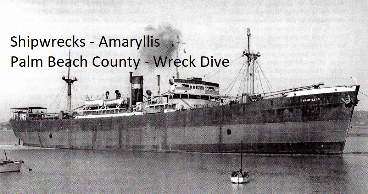
Shipwrecks – Amaryllis – Palm Beach County – Wreck Dive - Coordinates 26° 47.30′ N 80° 00.960′

Shipwrecks - Amaryllis - Palm Beach County - Wreck Dive
Amaryllis Shipwreck Coordinates 26° 47.30′ N 80° 00.960′ W - Palm Beach, Palm Beach County, Florida, USA. Just north of the Palm Beach Inlet.
Amaryllis was a cargo ship built in 1945 at Burrard Dry Dock in Vancouver, British Columbia, Canada. She was 441.6 feet long and measured 7,147 gross register tons. Originally named Cromwell Park, she was built for the government of Canada to be used in World War II.
As Hurricane Betsy approached the east coast of Florida on September 7, 1965, Amaryllis, bound from Manchester, England to Baton Rouge, Louisiana with a Greek crew of 30, sought refuge in the Port of Palm Beach in Riviera Beach, Florida. As she approached the Palm Beach Inlet from the Atlantic Ocean into the port, she suffered steering problems in addition to the high winds and seas, which resulted in her being forced into the shallow waters laced with coral reefs north of the inlet. Sometime during the night of September 7–8, she ran aground on the Singer Island beach in front of the Rutledge Motel, later known as the Rutledge Inn, in Riviera Beach.

Bottom Numbers
We Share Our Bottom Numbers! Looking for a shipwreck or artificial reefs to freedive? Where are the most artificial reefs in South Florida? What software do you use to find bottom numbers?
Last edited:


